29 May
To day we departed Buckley AFB FamCamp about 0814 hrs and headed west towards Grand Junction CO, our next stop.
Luckily traffic was not bad in Denver, likely due to the Monday holiday. Once we got out of town and west of the Argo Mine, the scenery was new. The drive across I-70 was breathtaking and amazing how it changed the further west we traveled!
 |
| Leaving Denver |
 |
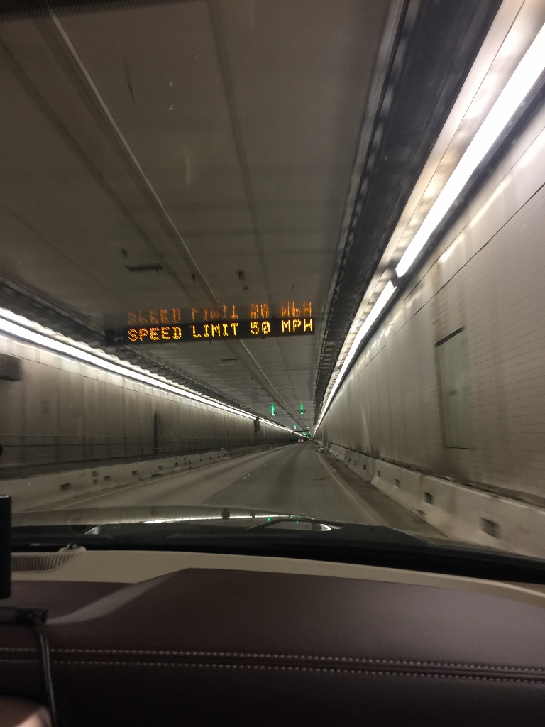
| Eisenhower Tunnel (2 miles long!!) |
 |
| Snow dwindling the further west we drove |
 |
| Snow gone. Rocky with a few trees |
 |
| Rocky steep cliffs with few trees |
 |
| Colors changing, more reds here |
 |
| Reds gone now, more desert-like |
 |
| Most vegetation gone. |
We arrived at Junction West RV Park at 1342 hrs after driving 274 miles. This is a commercial RV park and the price was four times what we paid at Buckley, bit it is what it is! It;s a nice place but little grass and little shade. The entire park is rock, but it is very level and is full hook-up,
 |
| A couple small trees nearby |
 |
| Our Nations Colors and our Air Force flag flying high and proud on Memorial Day |
 |
| No grass at the site but there is a small patch at the pet relief area! |
.After a quick RV unhook and setup and a late lunch, we headed for the Colorado National Monument. I assumed this would be a granite monolith of some sort. Boy was I surprised!! This is unlike any "monument" I have ever seen! It is a "big, bold, and brilliantly colored canyon with towering masses of naturally sculpted rock", covering 32 square miles of rugged up and down terrain.
To see the monument involves a 23 mile drive and a climb from 4690 ft to 6640 ft.
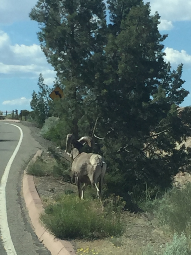
We took a lot of pictures as we toured the monument, but will just post a few here. I is difficult to capture the beauty of the area with a camera. As we headed up the windy road to the visitor center we were joined by a bighorn sheep that wanted to pace our RAM pickup.
 |
| Balanced Rock - icon of the monument. 600 ton boulder perched on top of a pedestal |
The visitor center had many displays and talked about the history of the Rim Rock Drive, the windy road that takes you all the way around the monument. The design for the road was completed in 1931. Most of the road was constructed during the Great Depression with almost entirely manual labor from the Works Progress Administration (WPA) Public Works Administration and the Civilian Conservation Corps. Extensive drilling and blasting was required including three tunnels.. They stopped work on the project during World War II and finally completed it in 1950. The entire project employed over 800 workers.
Here are several other pictures to give you an idea of how spectacular the scenery is:
 |
| US Geological Survey Benchmark placed in 1934. 6106 feet |
 |
| The next step is a doozie!!! |
 |
| Doreen getting real brave! It's a long way down! |
 |
| Hand drilled holes for dynamite |
Tomorrow we will visit Arches National Park and Canyonlands National Park.
Stat update:
Point to point travel miles: 1310 miles
Vicinity miles: 1177 miles
Total miles: 2487 miles
Total point to point driving time: 26 hrs 34 minutes
Total fuel purchased: 204.8 gals
Total fuel cost: $495.73
Average fuel cost: $2.423
Average MPG: 11.802 miles/gal
Lodging cost: $445.91
Average lodging cost/night: $21.23/night